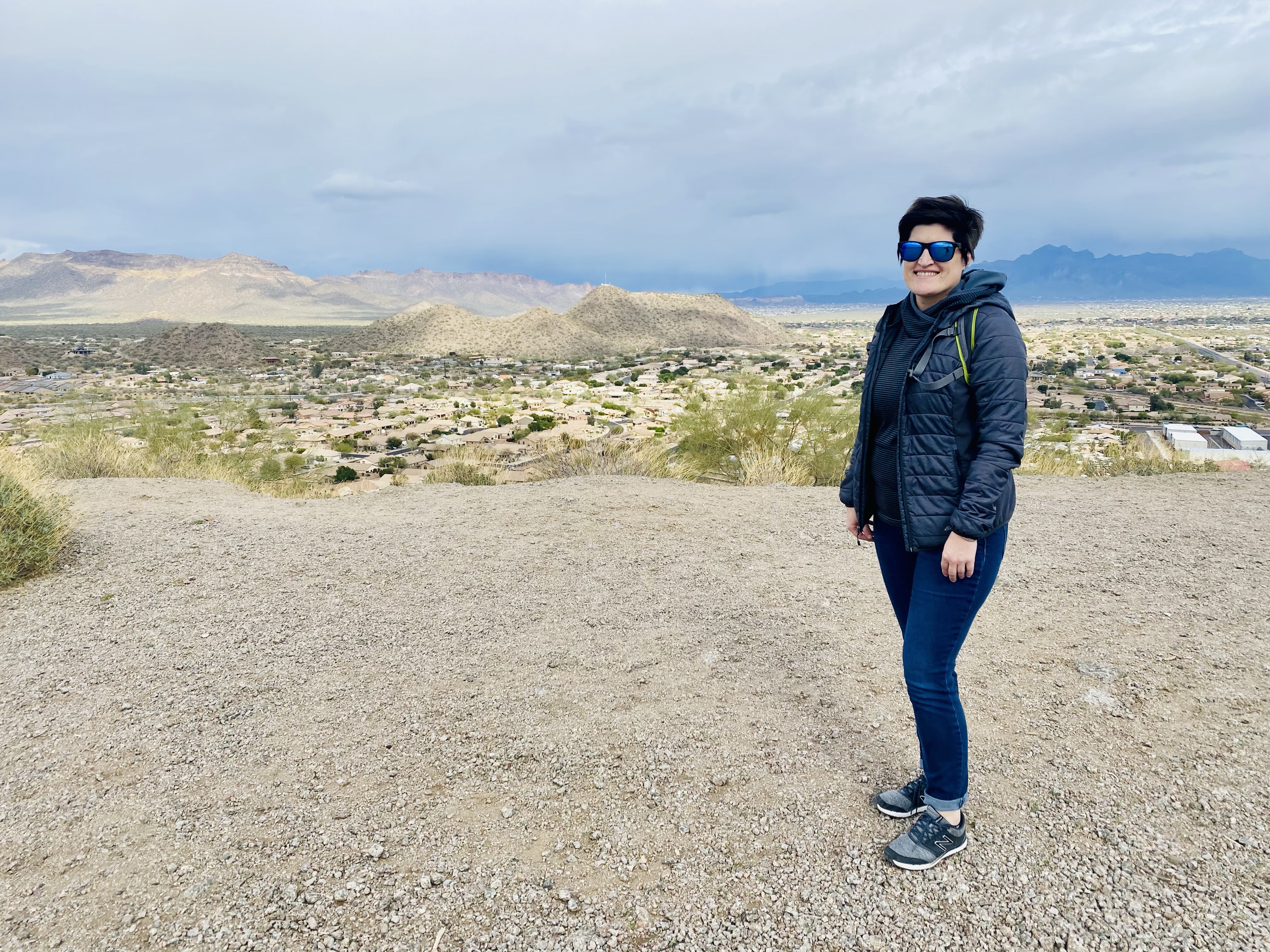
My cousin and her family were taking a trip over spring break to Mesa, Arizona and they let me tag along!! After meeting up with my cousin’s friends, we decided to take a hike that was just a short drive from their house. Apparently, this trail has several names like Brown Mountain, Brown Road Hill and Red Mountain Trail per Google Maps.

Per All Trails, the hike is just under a mile and is essentially two inclines up to the top. Dogs are allowed, but Ellie did not make this trip. Also, the trail is rocky in places, but overall moderate.


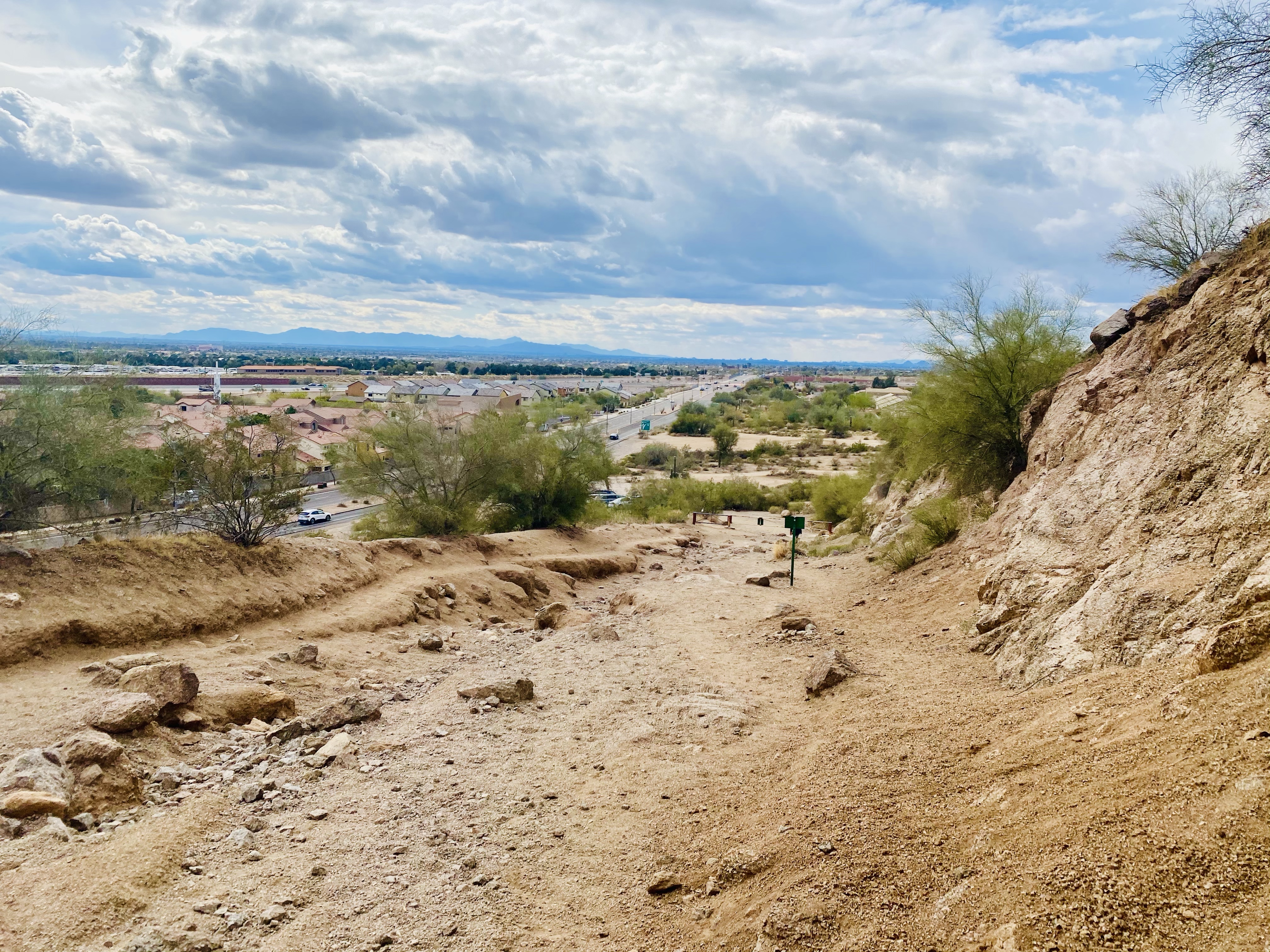
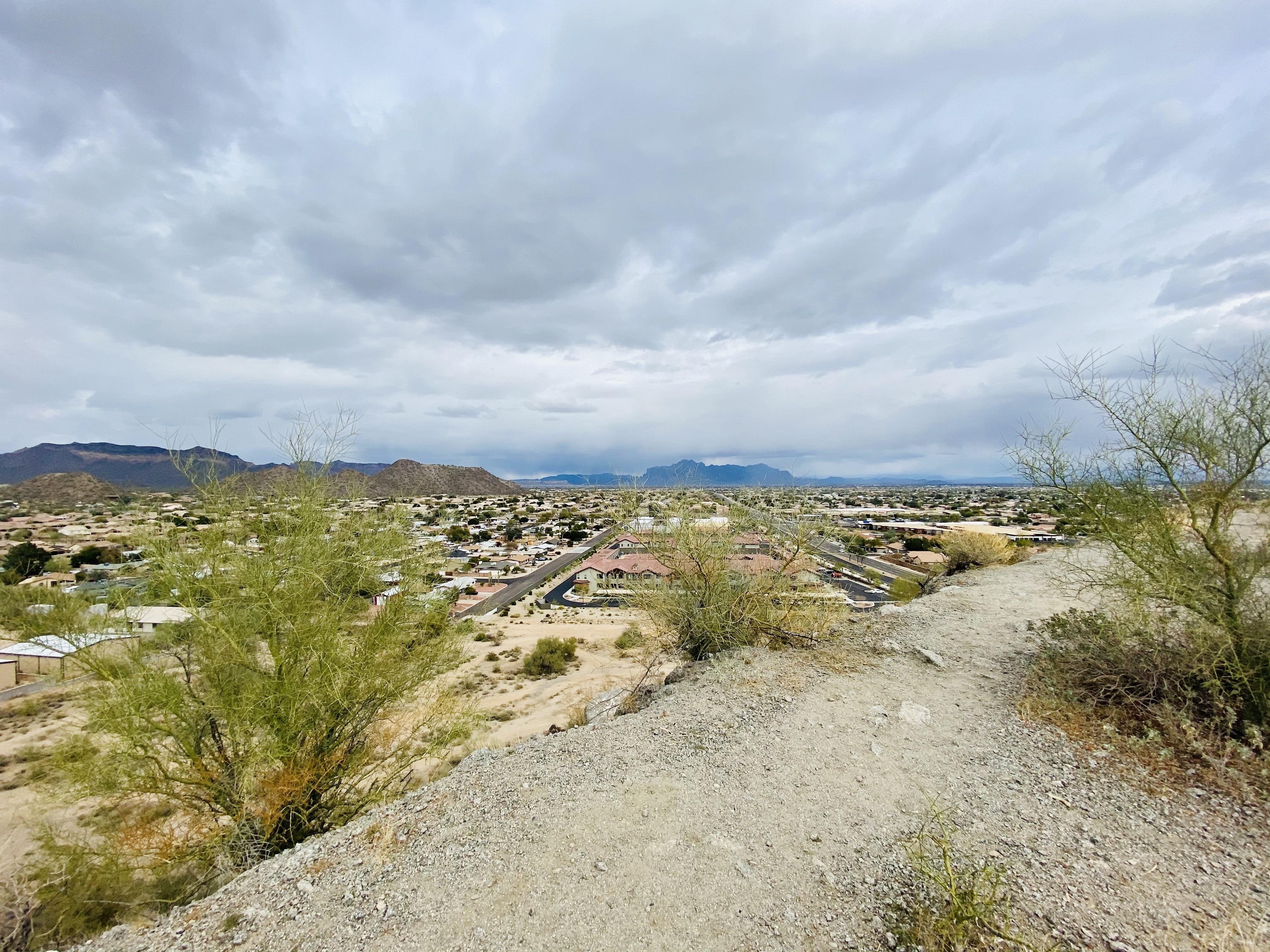
Once you get to the top, you will see sweeping views of the valley tucked between various mountains. The daunting Superstition Mountains are to the east while Phoenix and Camelback Mountain are to the west.


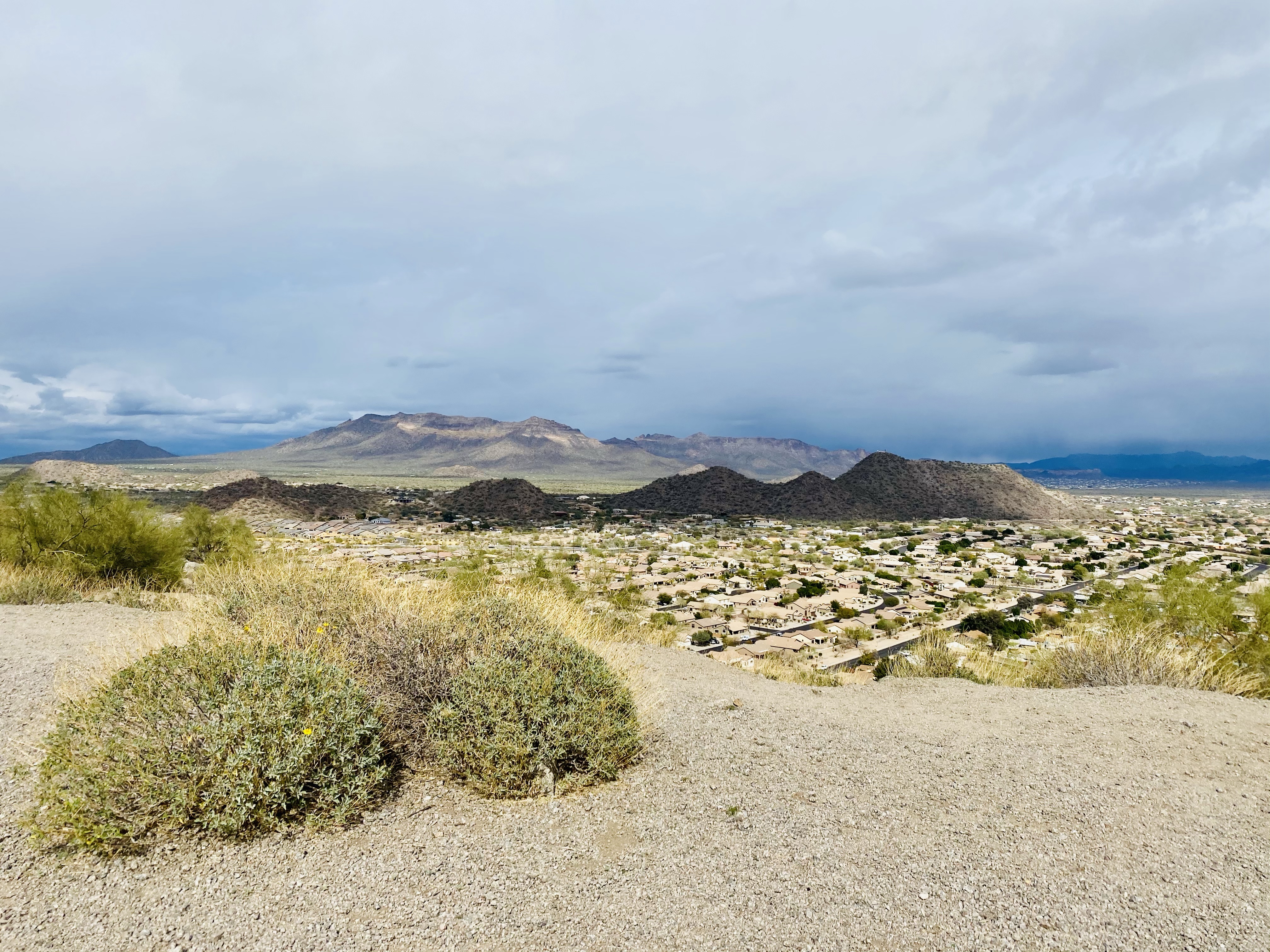


While this hike is surrounded by subdivisions, I really did enjoy it since it introduced us to the landscape and gave us a cool orientation of the area. Be sure to check out this short hike if you are near Mesa!


Have you ever hiked this trail before? What did you think? Leave a comment below and follow Planned Spontaneity Hiking on Facebook for more adventures!


Great Photos! Come back again and we will do the Flat Iron trail. Can’t wait to see your photos and info on the other trails in AZ.
We had a blast hanging out with you all.
LikeLiked by 1 person
Thanks so much for showing us some cool spots, Tony! Hope to see you guys again!
LikeLike
It’s pretty barren there compared to the midwest – but it was a very nice view of the area. Thanks for sharing!
LikeLiked by 1 person
I grew up in Mesa. The trail is off of Brown road not sure why google maps is different. Ive been away from home for 5 years taking care of my mom i miss home thanks for the pics and making me feel at home for a minute. Next time check out the trails at the superstition mountains. Also u must take a ride on apache trail to canyon lake you will love the views
LikeLiked by 1 person
Thanks so much for visiting and the comment!
LikeLike
Where is trail head?
LikeLiked by 1 person
It is on East Brown Road in Mesa. 🙂
LikeLike
There is another nice hiking trail a few miles from that one. Called falcon hill… Next to falcon hill park. Off power rd. And Mckellps. You can Google it in maps.
LikeLiked by 1 person
Thanks for the recommendation!
LikeLike
Yes, I have been there a lot.
I like it!
When you don’t have to much time it the perfect spot
LikeLiked by 1 person
I agree! Thanks for the comment!
LikeLike
This is one of my favorite trails in the area—the perfect place to catch a sunrise and sunset and watch the full moon rise at the same time. Fast and simple, and the views are rewarding. There’s one tip I want to share. If you know the type of trail this is, it’s ideal for a short hike too! Good for trail running and jogging.
LikeLike
I love this hike, have done it many times with my 6 year old grand daughter..I am 74..chAllenging enough to get a workout, but not difficult .. 30 min round trip..for us.. Love that it is so close!!!
LikeLiked by 1 person
Hey KALKAL55! I visited Arizona a couple of years ago and did the Brown Mountain hike as well. The views of Superstition Mountains and the valley are indeed breathtaking. Your post brought back some fond memories. Keep exploring and sharing your adventures! Cheers!
LikeLiked by 1 person
Thank you so much for the nice comment!
LikeLike