Located in the heart of the St. Francois mountains, is Sam A. Baker State Park. Named for a former Missouri governor, this park is a popular summer retreat for many people since it is just about 2 hours south of St. Louis. This park offers a wide array of outdoor activities such as camping, floating, fishing and hiking.
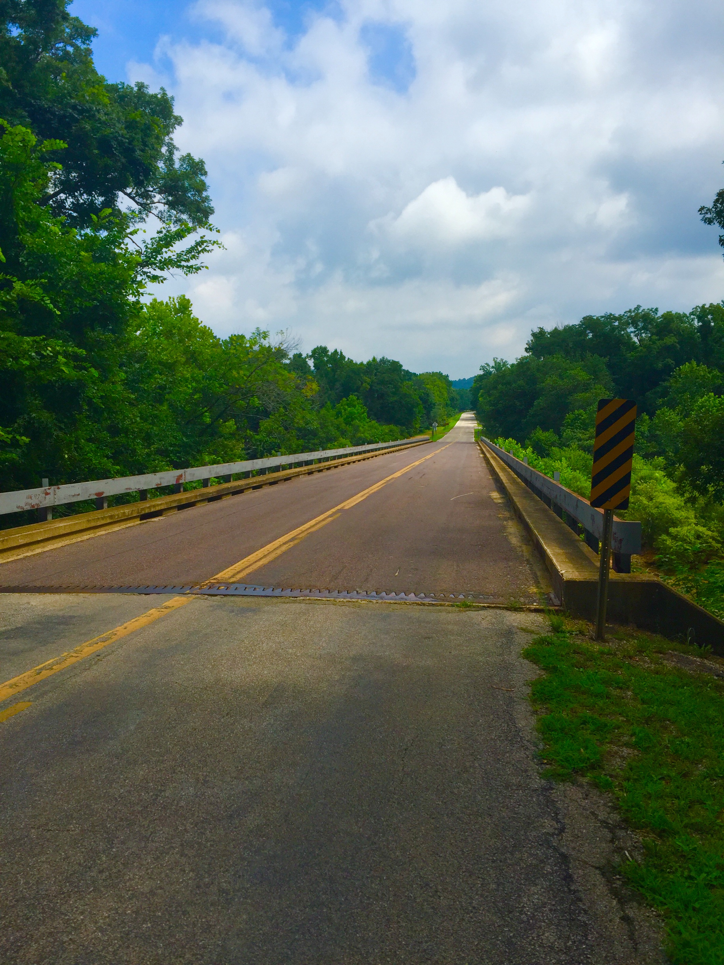
Situated at the base of Mudlick Mountain and nestled next to Big Creek and the St. Francois River, the park boasts rocky outcroppings and crystal clear waters. We decided to experience some of the park’s natural beauty by hiking the Shut In Trail. I had previously been camping here several years back and knew I wanted to come back and see some more of the park. Before starting out, be sure to stop by the Visitor’s Center to grab a trail map. We parked by the lodge and across the road is he trailhead for the Mudlick Trail System. After hiking down a short hillside, there are several trails that jet off in various directions. We continued over the wooden bridge to get on the Shut In Trail.

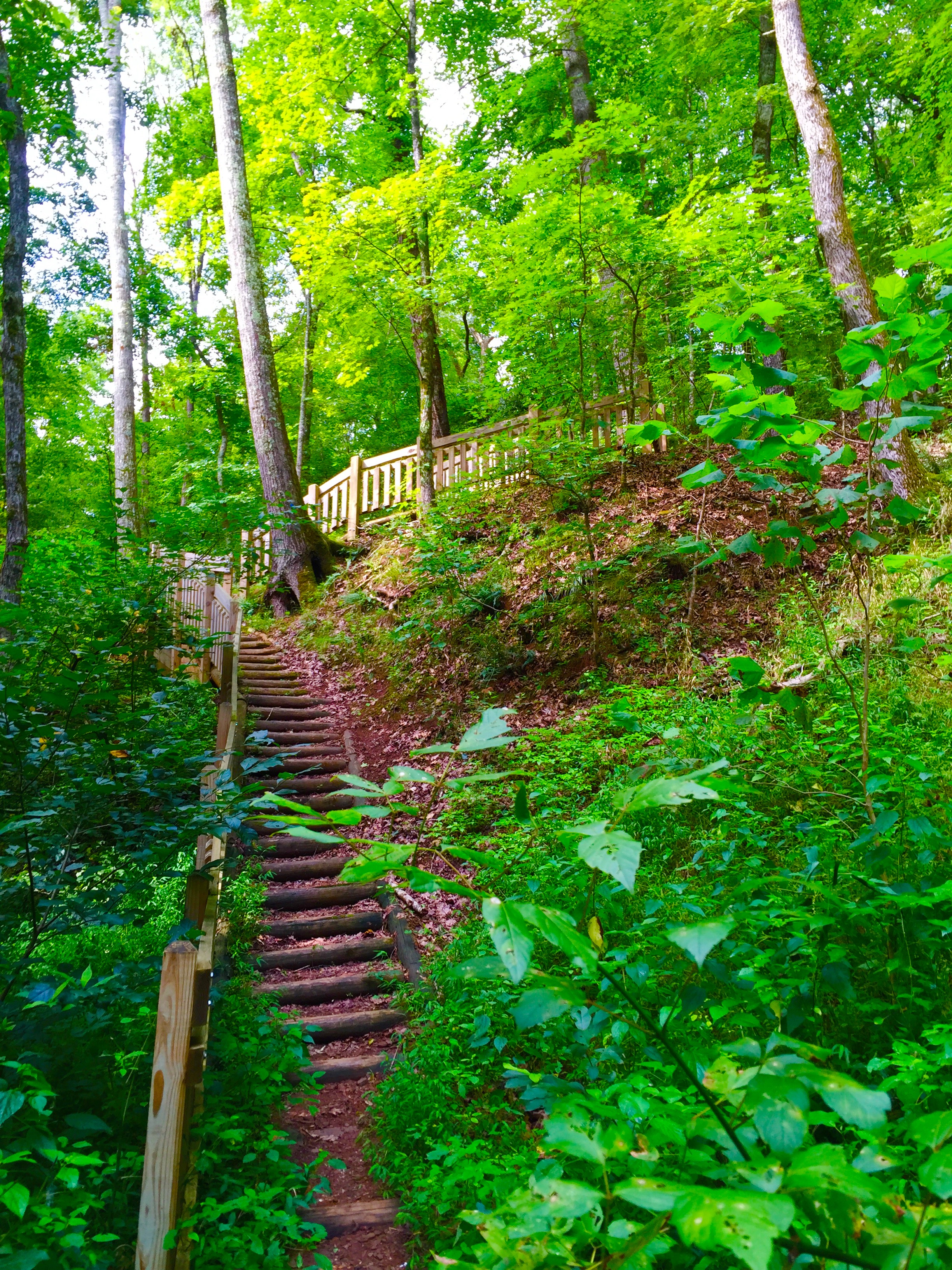
Across the road is a trailhead sign and the Shut In Trail is blazed in blue. A set of stairs leads down to the Big Creek floodplain. The trail is narrow through this section with tall grasses and swampy areas.
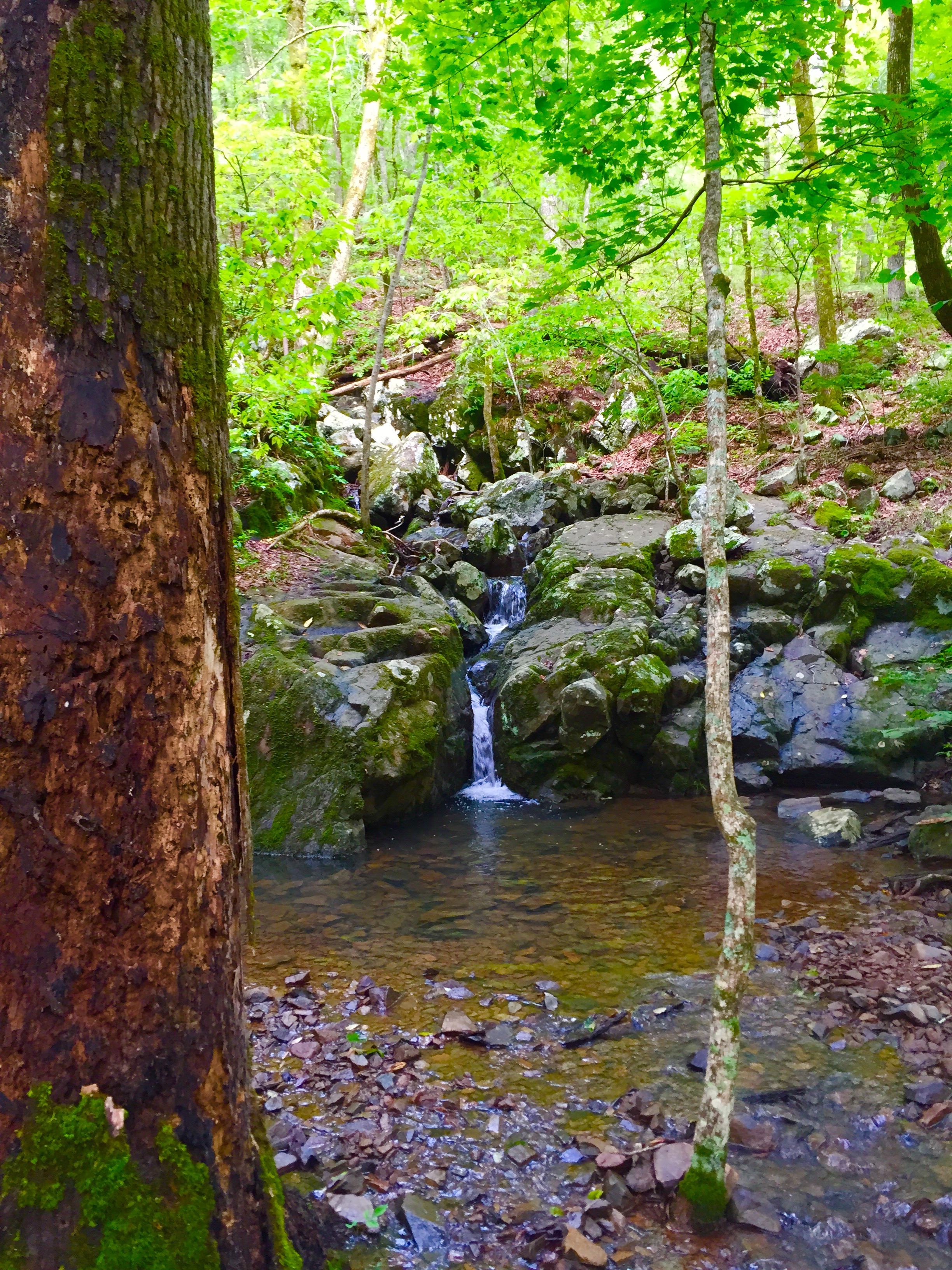
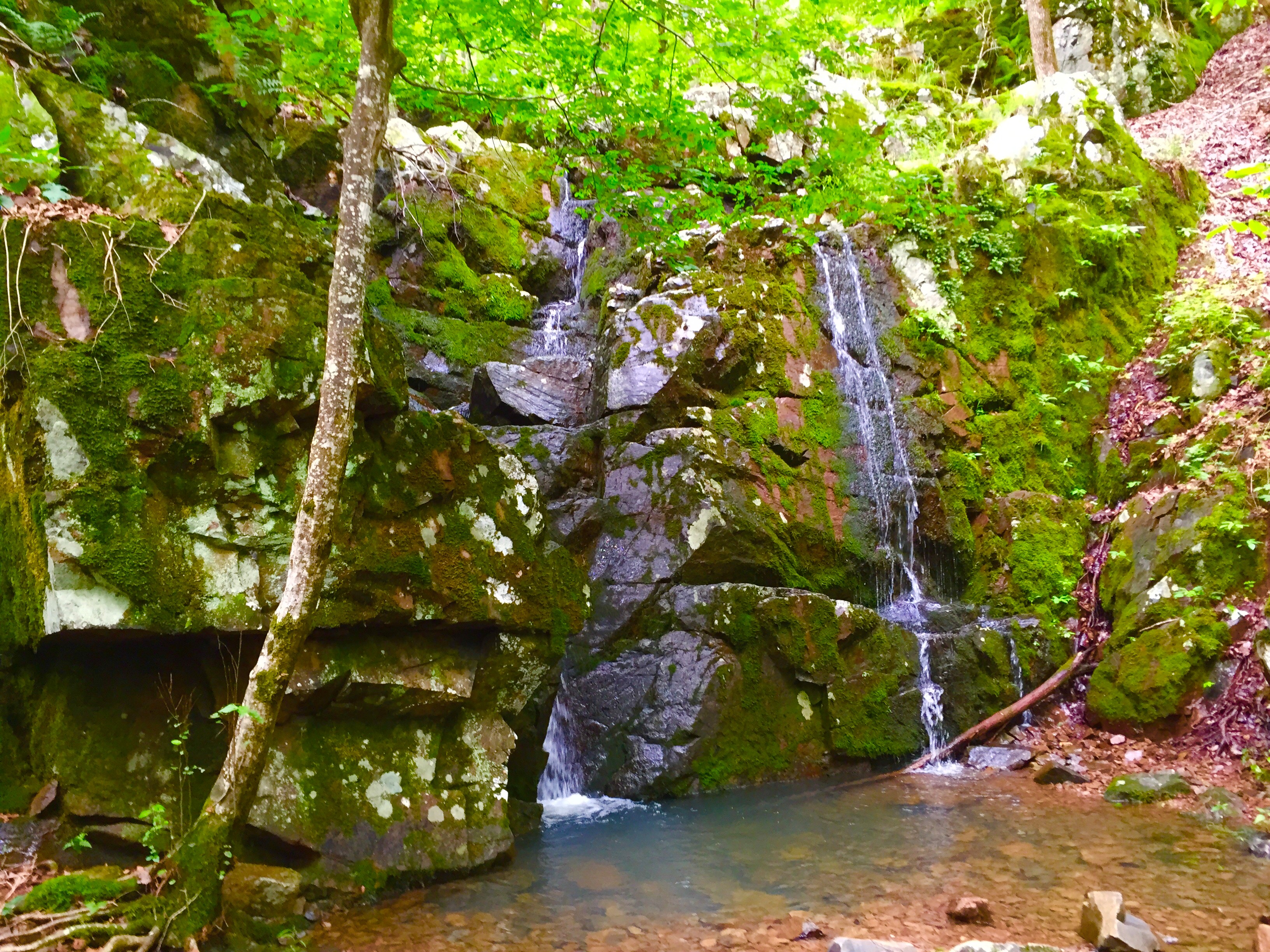
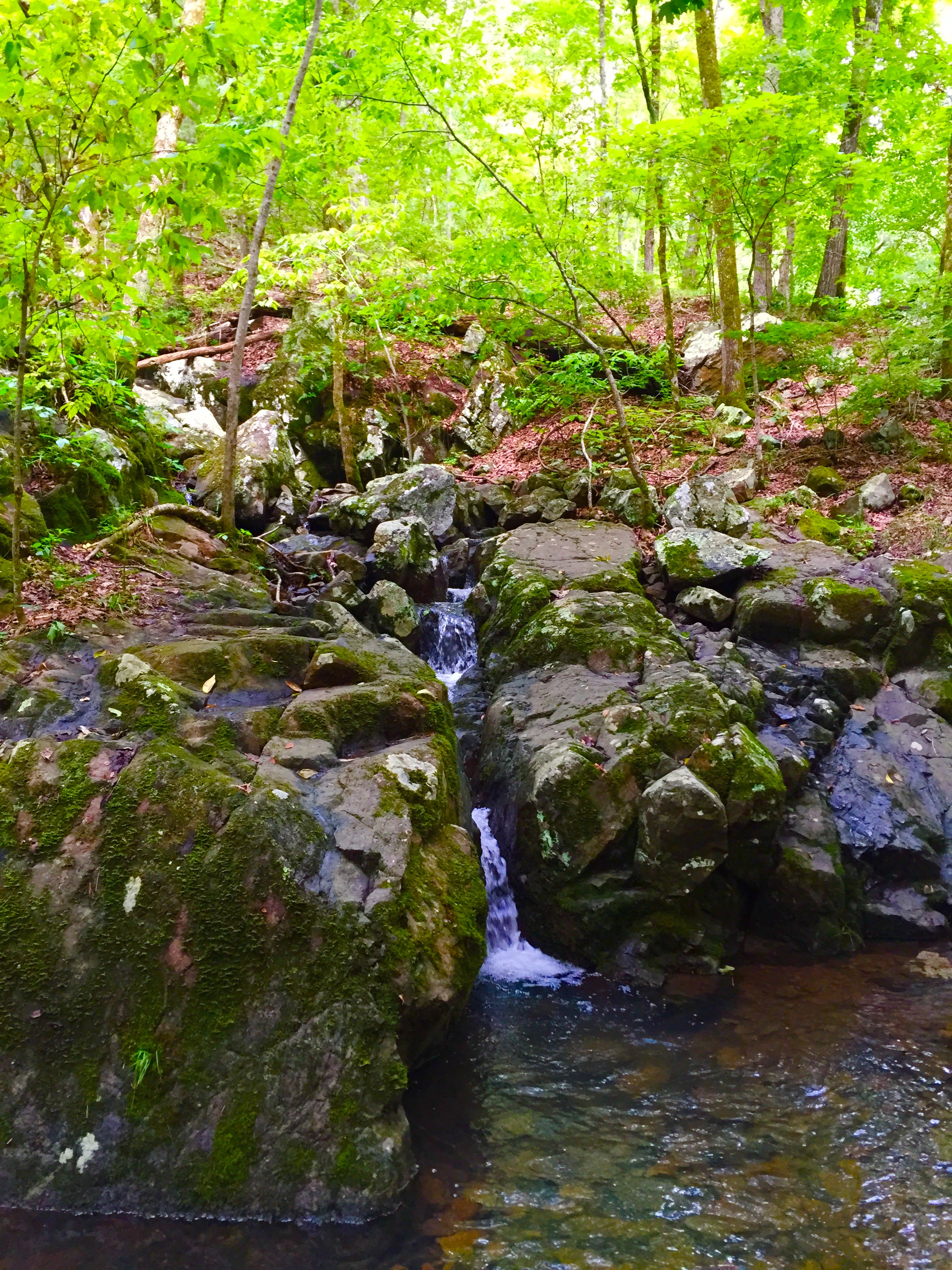
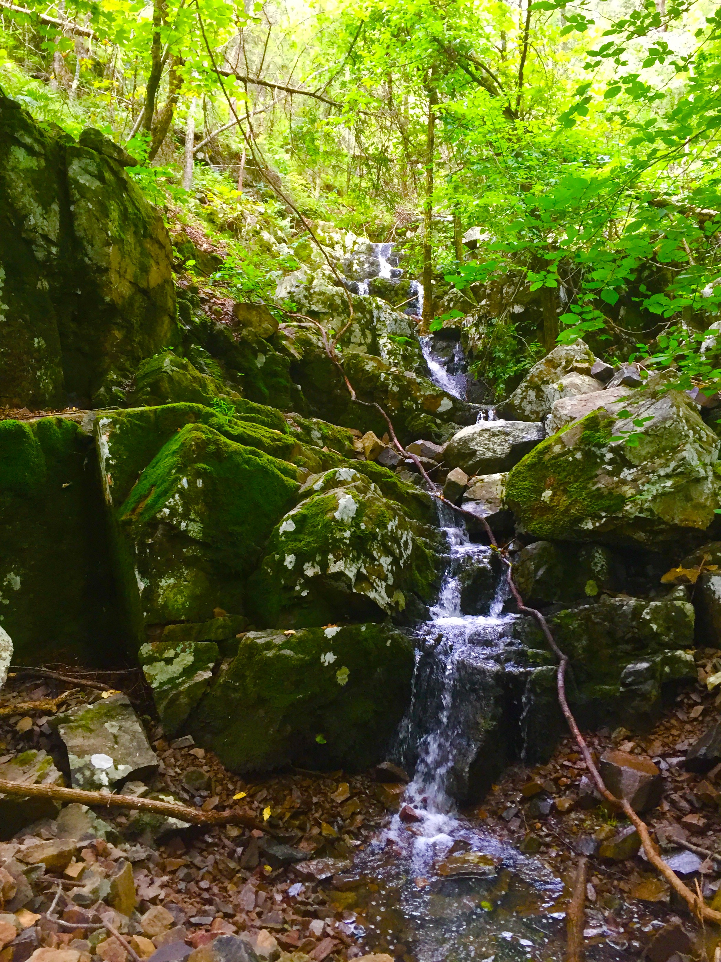
I had no idea that there were seasonal waterfalls along this trail that made this hike very enjoyable. Cool water rushes down the mountain and falls off large boulders into crystal clear pools. There are several small waterfalls along this trail so be sure to take the short trail spurs to check these out.

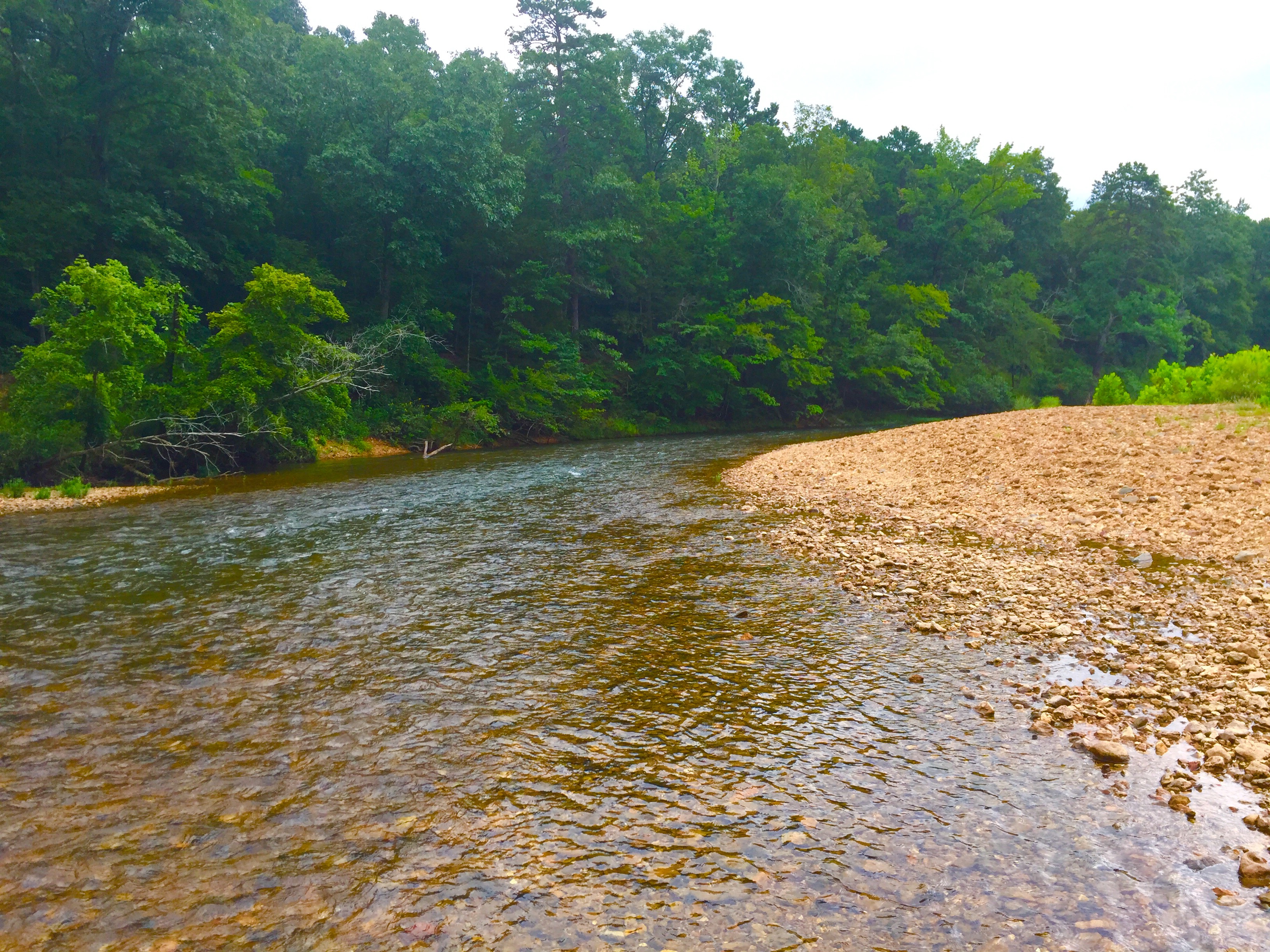
We continued to follow the trail and ended up at a rocky gravel beach next to Big Creek which is a perfect swimming spot on a hot day.
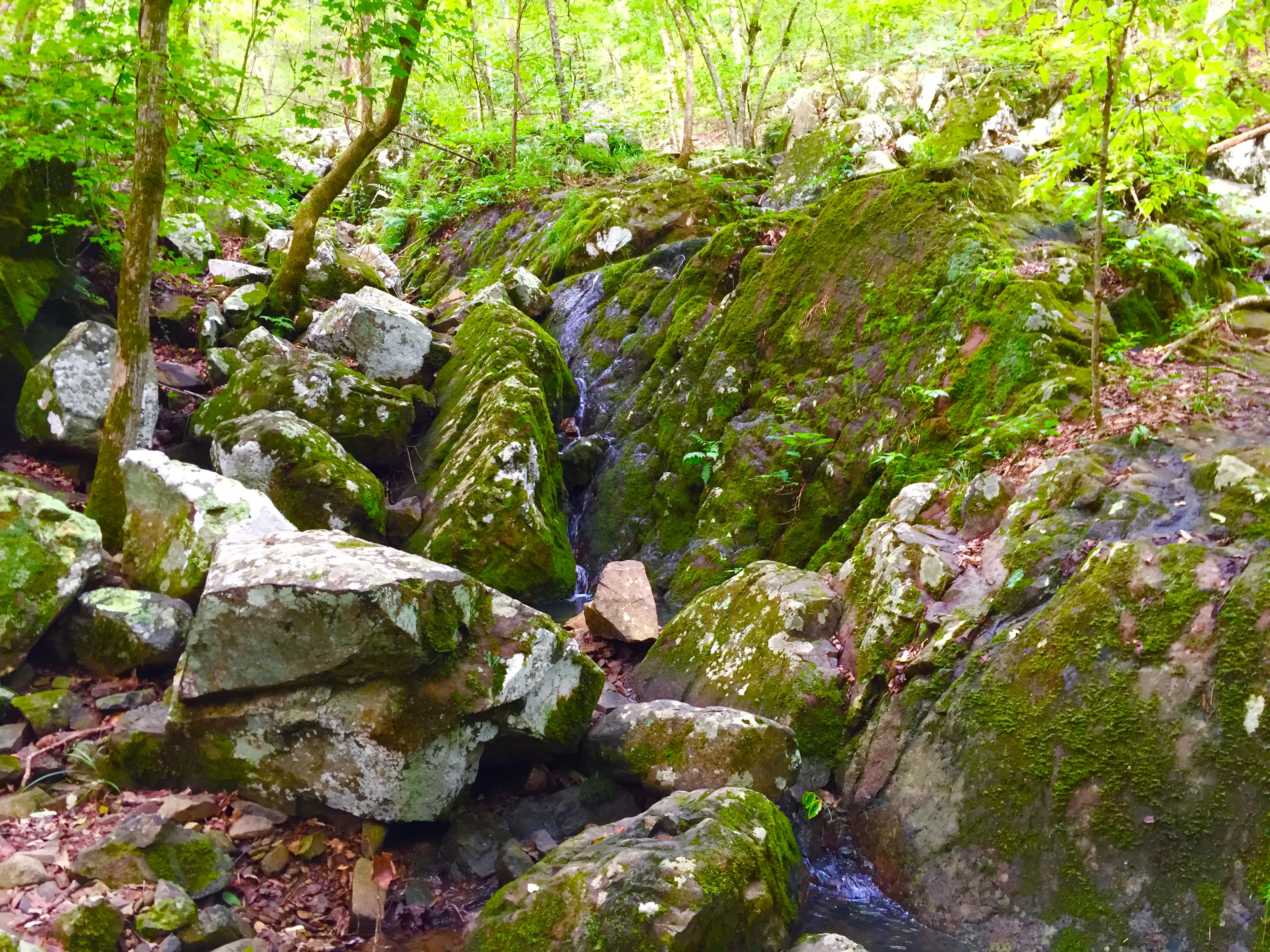
Now, I will admit I was a little confused as to where the “shut ins” were since I was picturing shut ins more like Castor River or Johnson Shut Ins. But after checking out the creek and backtracking, I soon realized that the shut ins are actually above the last beautiful waterfall we saw.
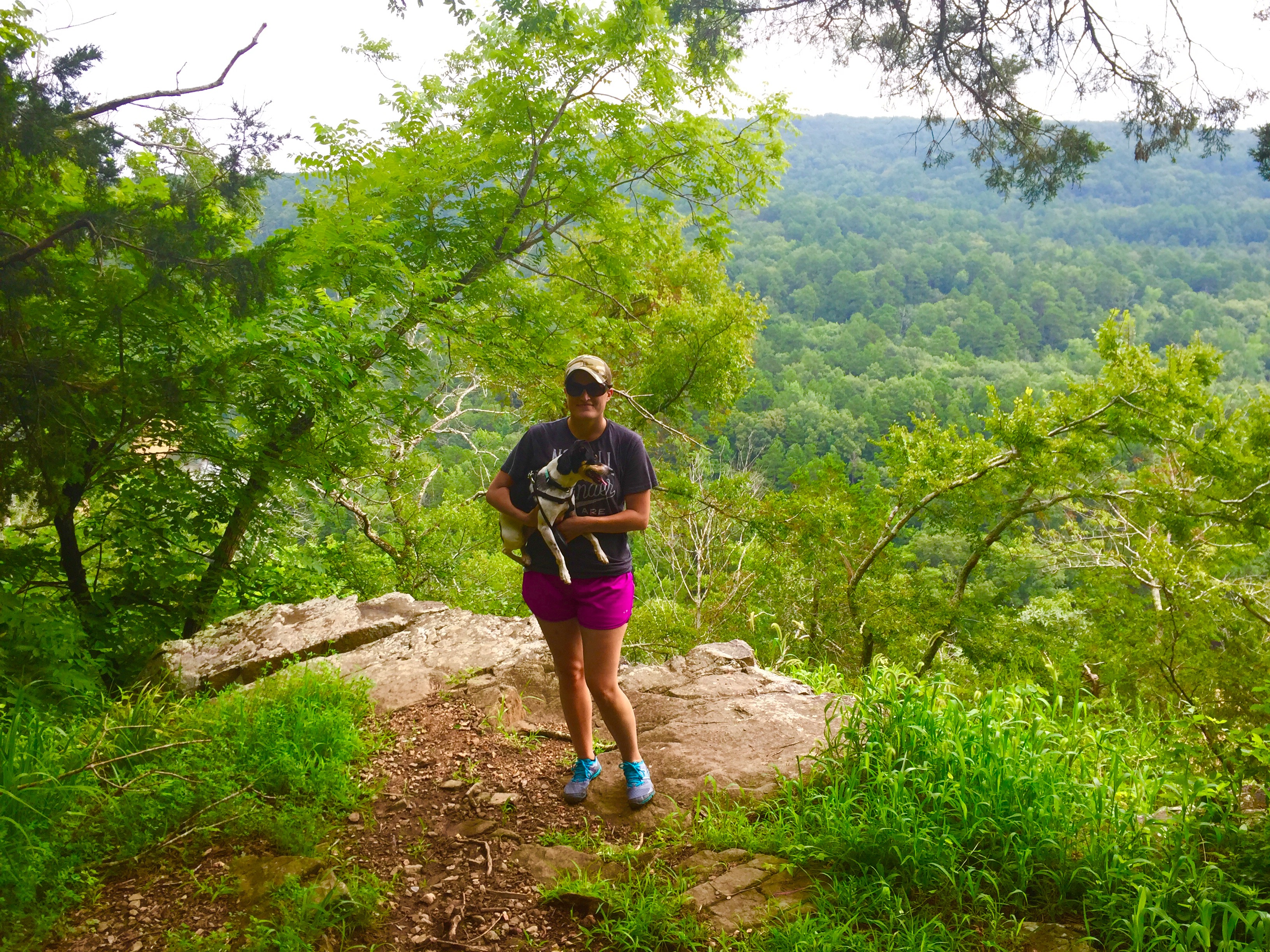
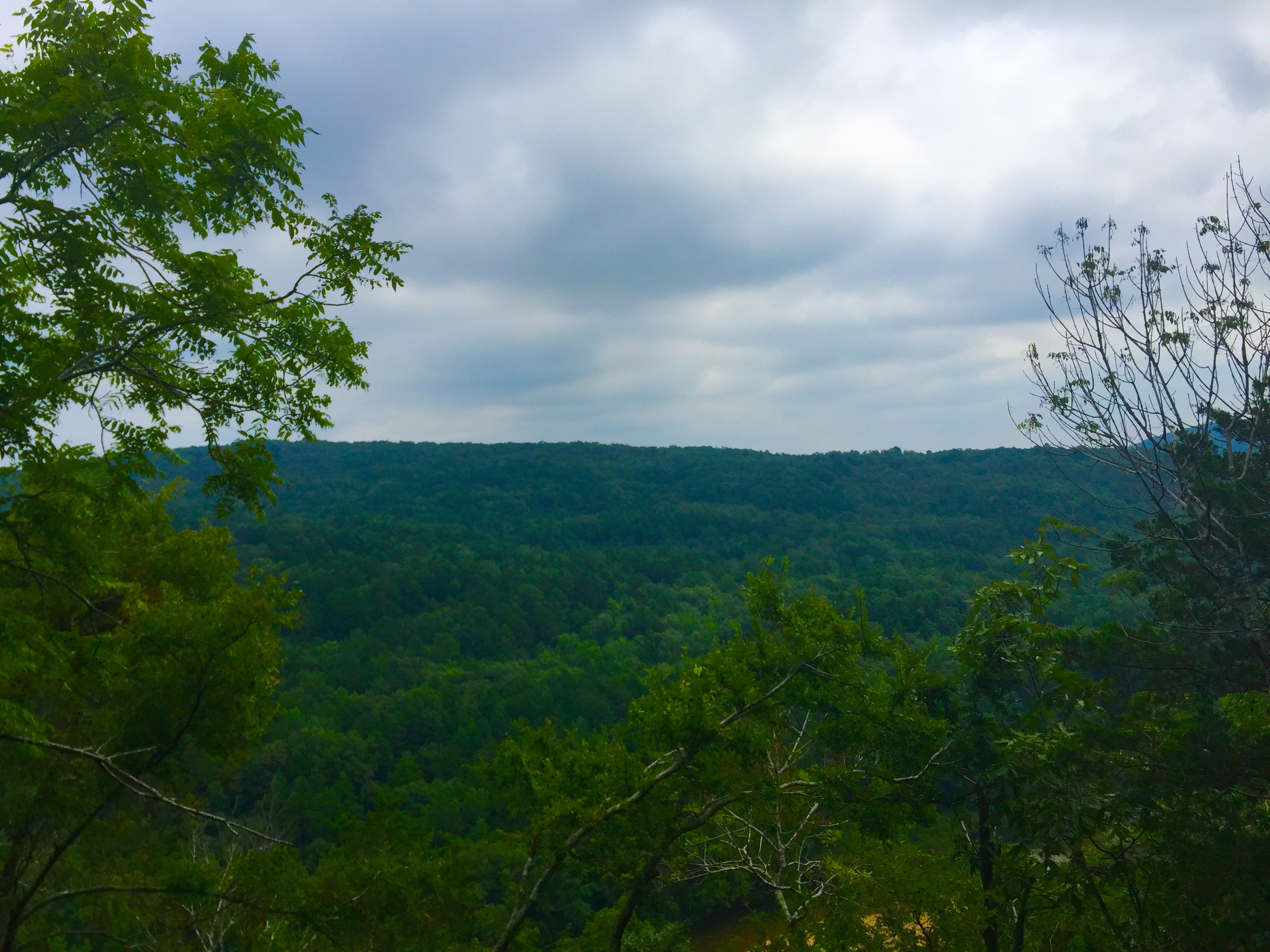
If you look closely, you will see that the trail parallels the shut ins and steadily climbs uphill. This trail is tough. It is very narrow and rocky and while you get to hike above the shut ins, I just kept wondering when the switchbacks would end =). Once you reach the top, Shelter #1 and a nice overlook await.

From here, I really wanted to hike the loop through Mudlick Hollow, but due to the 90 degree plus heat and stupid St. Louis humidity, I was feeling a bit lightheaded. We settled for taking the Mudlick Trail back to the car. Before heading out, we walked across the bridge with one final look of Big Creek.
 Overall, this is such a wonderful park. The park has a longer trail that circles Mudlick Mountain if you are interested in backpacking. The below park map was obtained from the Missouri State Parks website. Be sure to visit their site for more information! If you have any questions or comments, please leave them below!


One of my favorite places in Missouri! I spent some memorable nights sitting on that bluff in front of the hiking shelter in my late teens, looking at the hill across the way, and the stars and the clouds. Glad you got to check it out!
LikeLike
Love all the small waterfalls!
LikeLike
We are overnight backpacking Mudlick in 3 weeks! I can’t wait. I knew you’d have a post about it! Thanks for the info ❤️
LikeLiked by 1 person