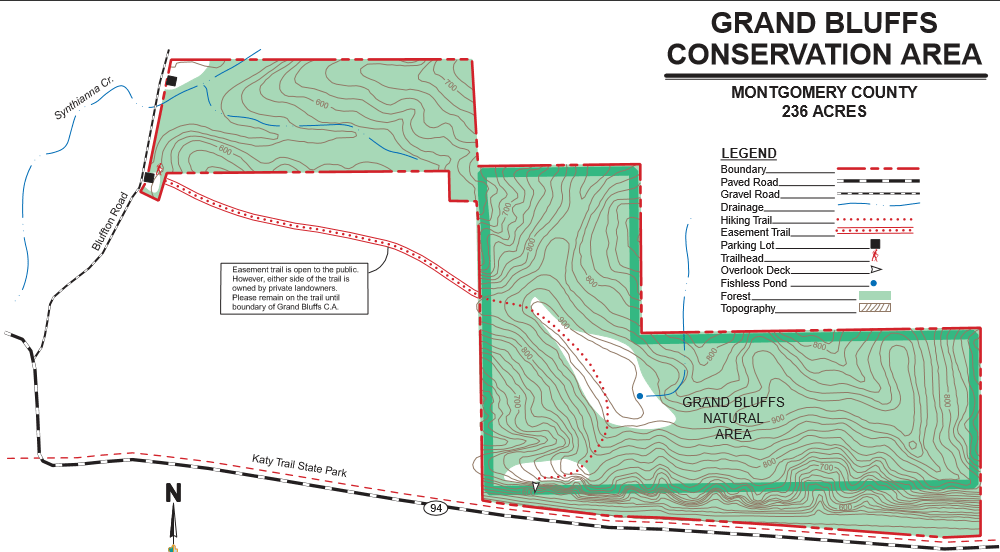
Saturday, June 3rd was National Trails Day so of course I had to hit a trail. My mom and I set out to explore Grand Bluffs Conservation Area near Hermann which is about and hour and a half from St. Louis. The trail leads to the top of a two mile stretch of dolomite bluffs.
")
")
")
The trail is an out and back type trail and is two miles round trip. If trying to locate the parking area using Google Maps, use the address 699 Bluffton Road, Rhineland, MO. Otherwise, it will just take you to the bottom of the bluffs and not the trail head. The first half of the trail leads through private property so go through the small entrance at the gate.

")
")
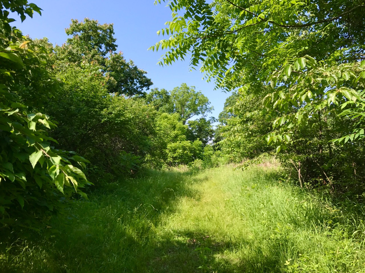
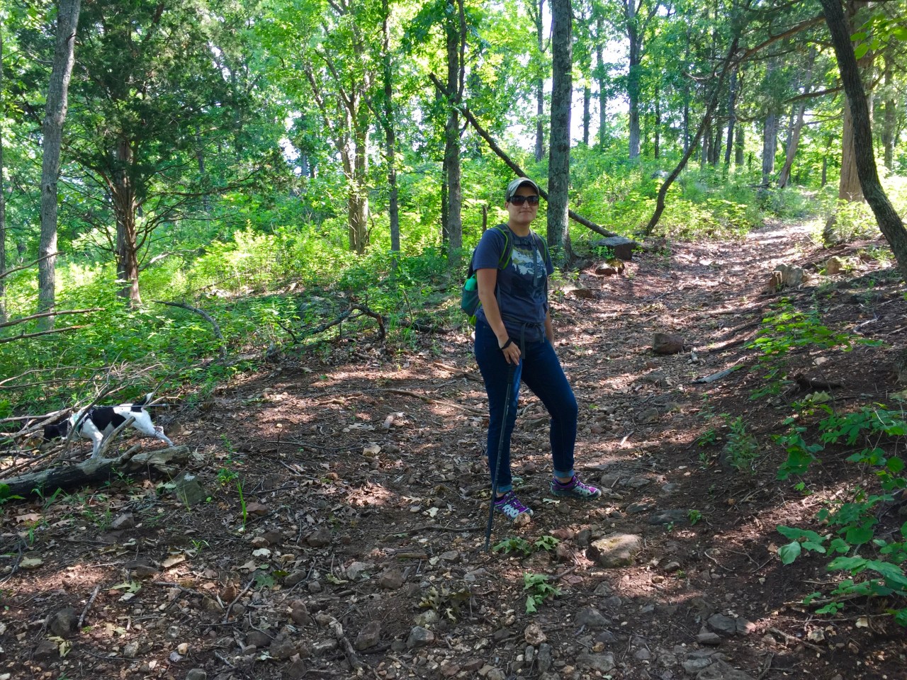
The trail is rated as difficult due to the steep incline. Once at the top, the trail levels off, winds through a section of tall grasses and then begins to descend to the overlook.

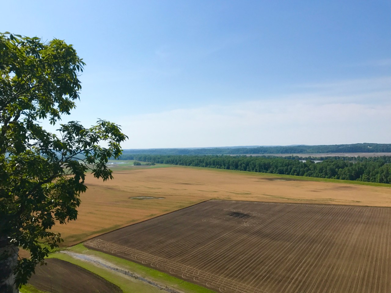
A nice wooden, viewing platform overlooks the Missouri River floodplain and the farm fields below. To the left and right you can catch a glimpse of the towering bluffs through the trees.
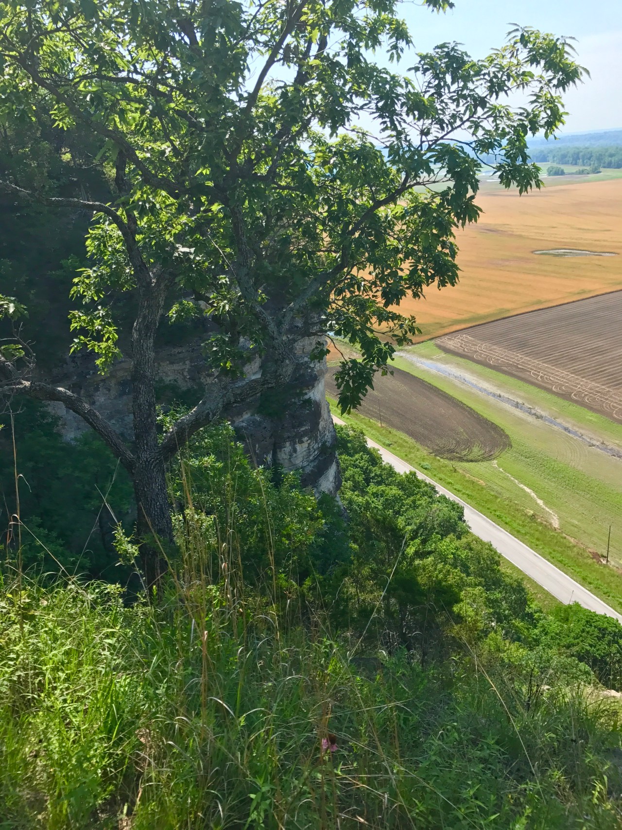

Be sure to drive along Highway 94 and take a look at the bluffs from below. There is not a really great way to view the bluffs, but I bet they would be more visible and stunning in the winter when the trees are bare.

Be sure to check out Grand Bluffs Conservation Area. It is a short and rewarding hike! You can get more information at the Missouri Department of Conservation’s website.

Nice hike..rated as difficult, but do-able..
LikeLike
Wow! The views look a lot like Weston Bend.
LikeLiked by 1 person
Great comparison! I would agree that it does look like Weston Bend.
LikeLiked by 1 person
Once again, very pretty scenery!
LikeLike