After exploring Wildcat Den State Park earlier in the day, we headed west towards Saulsbury Bridge Recreation Area. Just a note, I use Google Maps to navigate and I noticed that the navigation did not match the brown signs along the road to the Rec Area. If you are using a GPS and looking for the location of the bridge, I would use the address 2000 Saulsbury Road, Muscatine, Iowa. 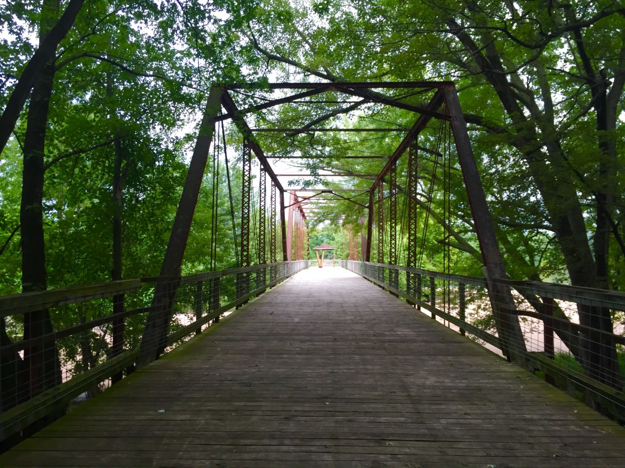
The road will dead end and turn into the campground. Here, there is a little lodge that is not normally open. To find the bridge, park in the small parking lot just below the lodge. Walk up the stairs and follow the sidewalk along the side of the lodge. From here, you can see the bridge.
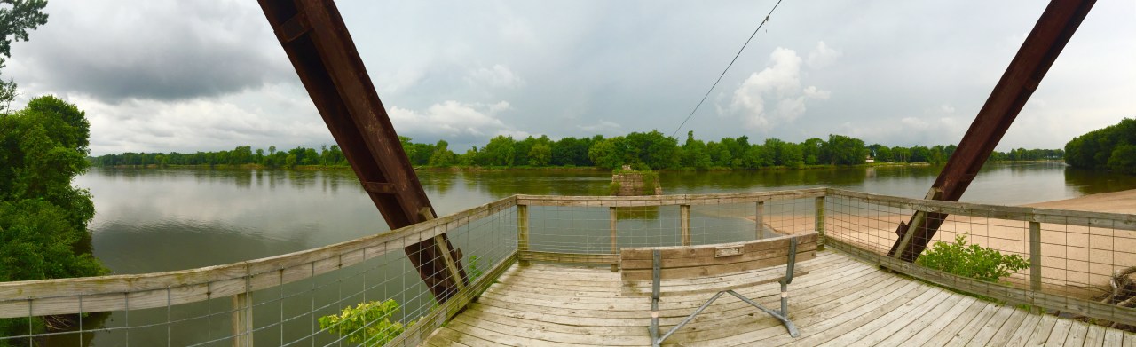
The bridge once spanned Cedar River. In 1965, the bridge was closed to vehicles. In 1977, all but 2 spans of the bridge burned. Today, the remaining 2 spans are open to pedestrian traffic. The bridge provides panoramic views of the Cedar River.
")
")
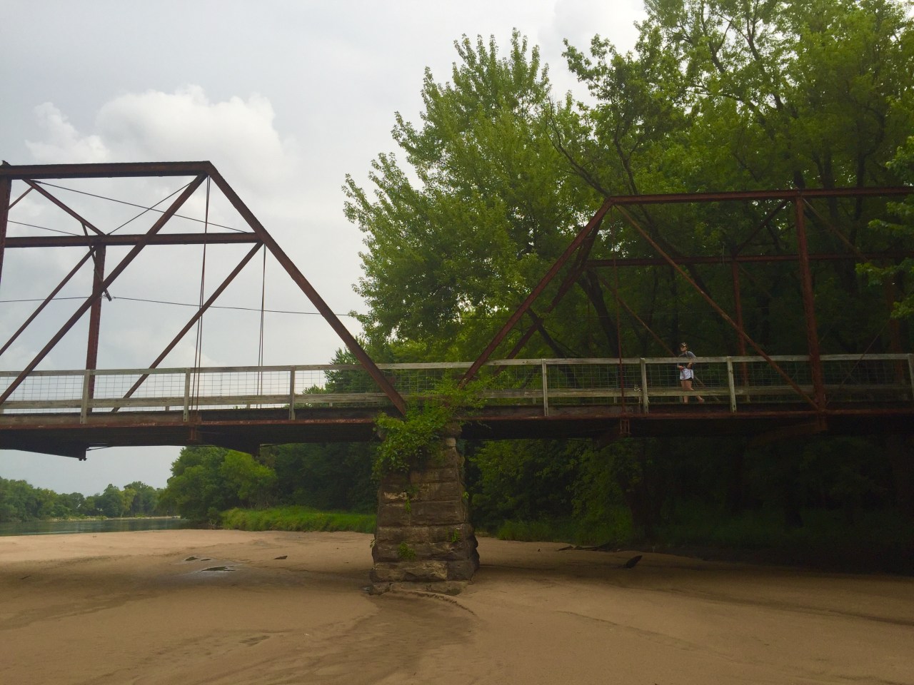
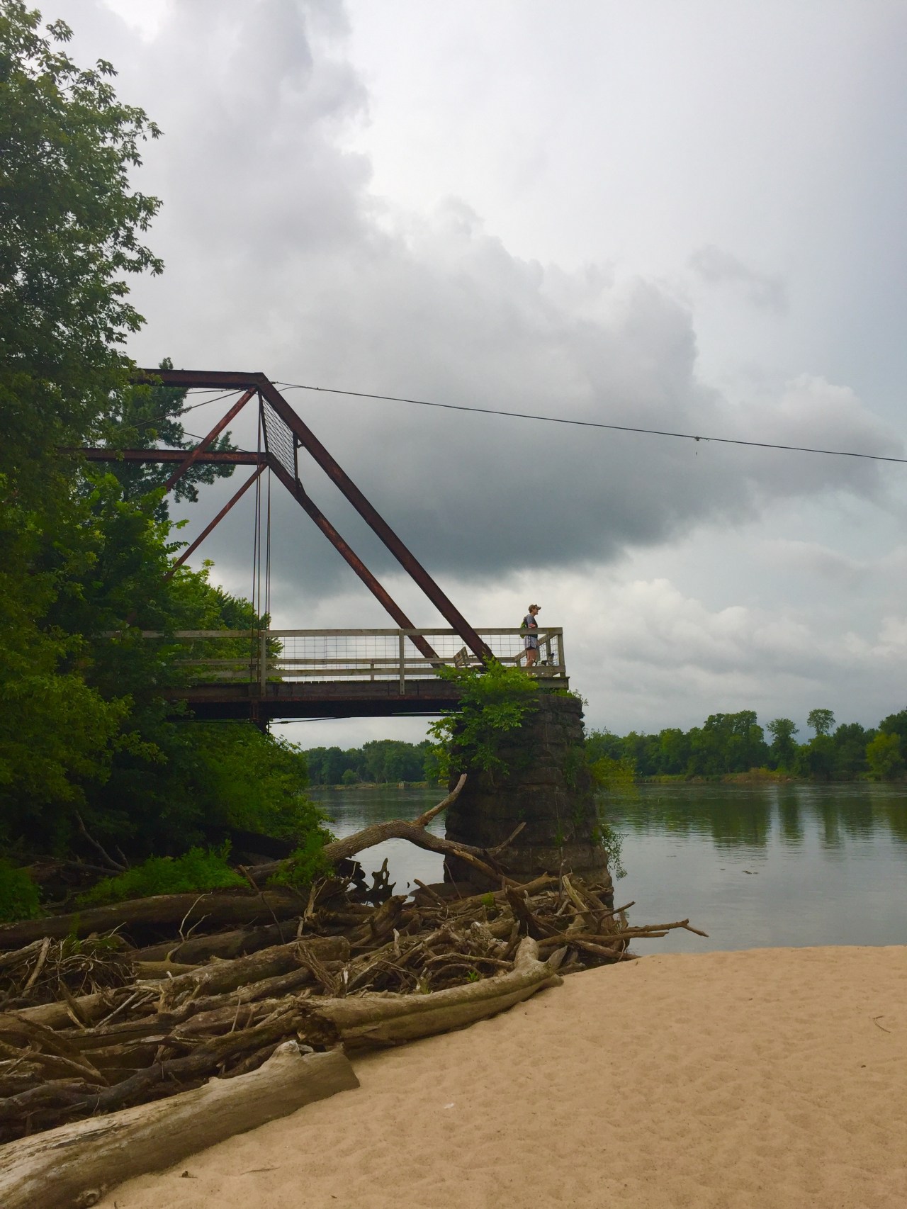
Just in front of the small parking lot, is a hiking trail marker. This is a short trail that leads to the sandbar that runs along the river and underneath the bridge. My brother explored underneath the bridge while I checked out the views from above. Be careful if the water is high.
I loved that we found this old bridge. I love bridges so this was the perfect stop!

very nice!
LikeLiked by 1 person
Beautiful! What a good find.
LikeLike