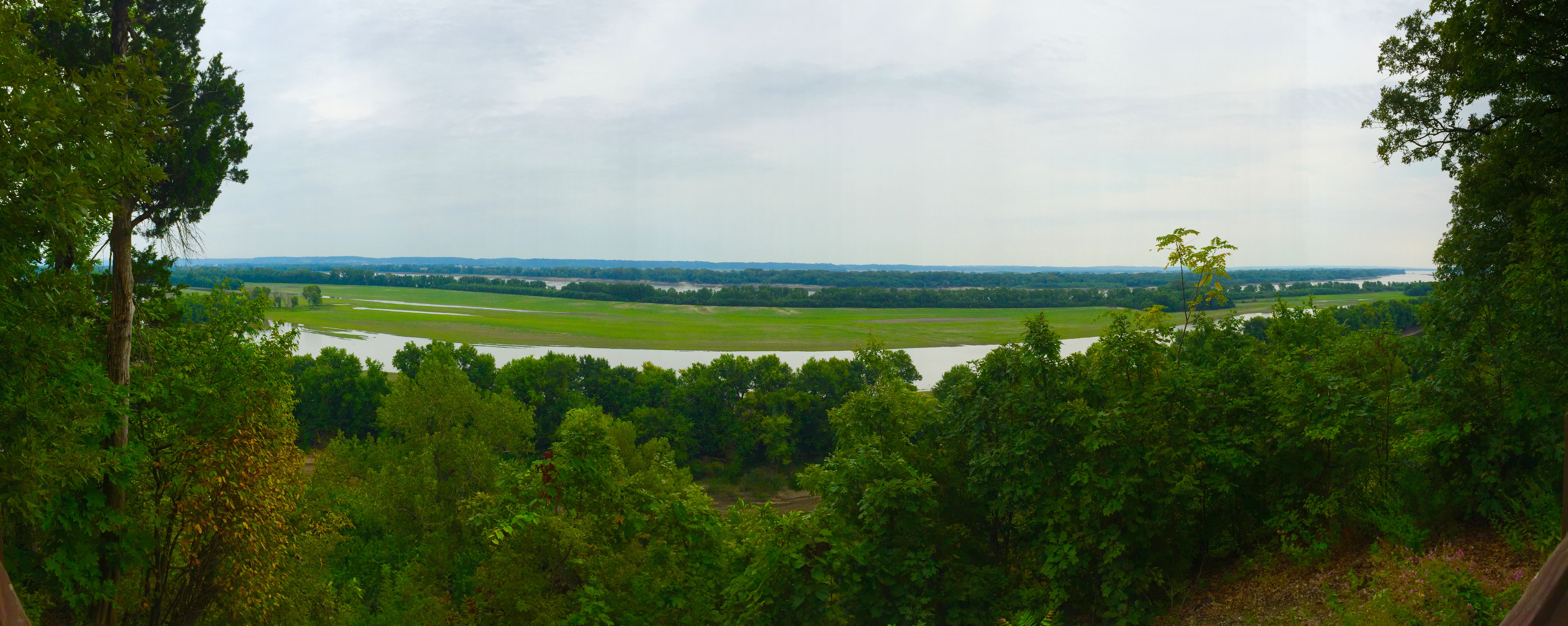
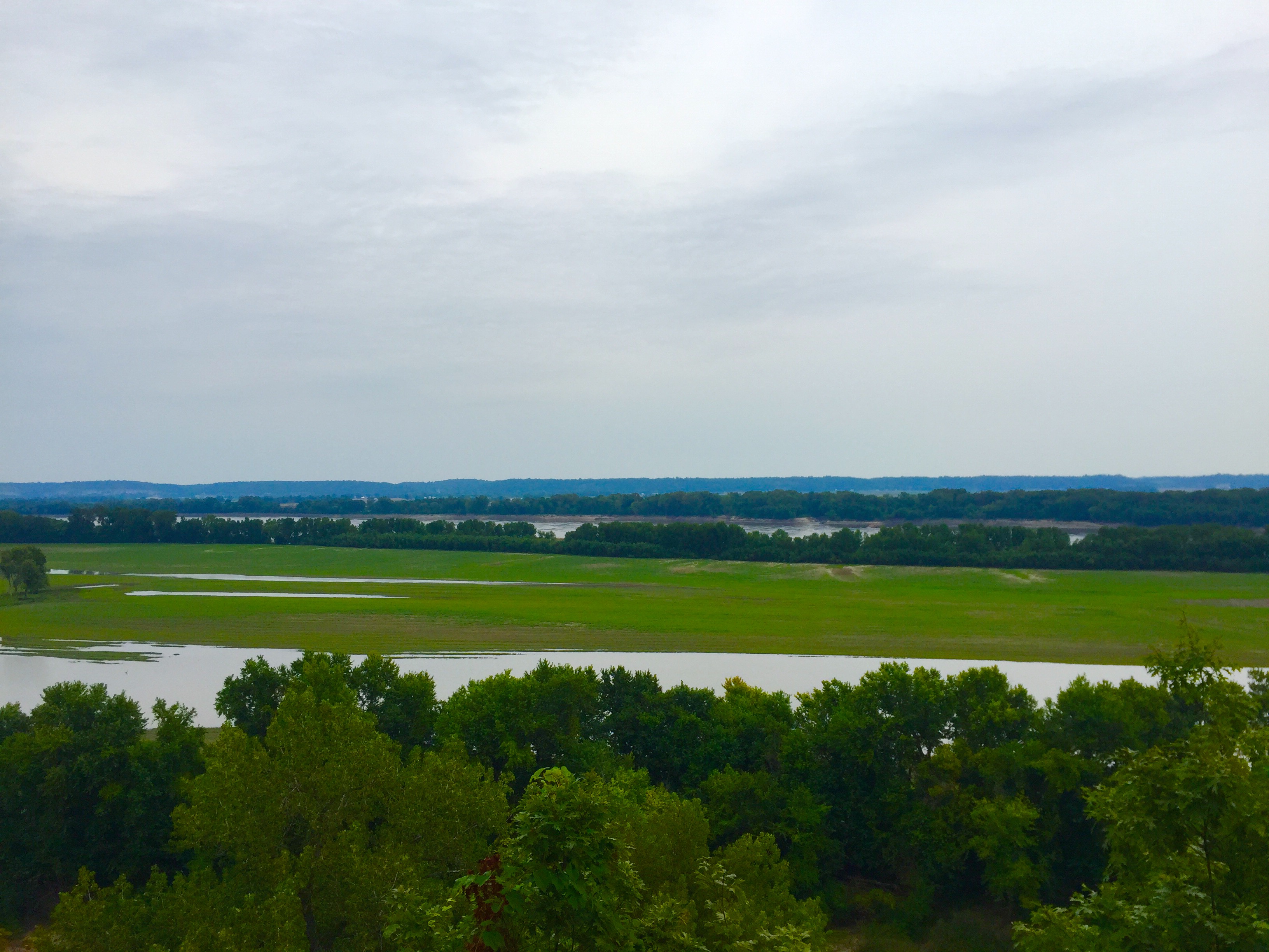
Magnolia Hollow Conservation Area is about an hour south of St. Louis and about 10 miles north of St. Genevieve, Missouri. The most notable feature of this area is the panoramic view. A paved trail leads to a viewing platform where in the distance, the Mississippi River is visible. Below, hidden by the trees is Establishment Creek.
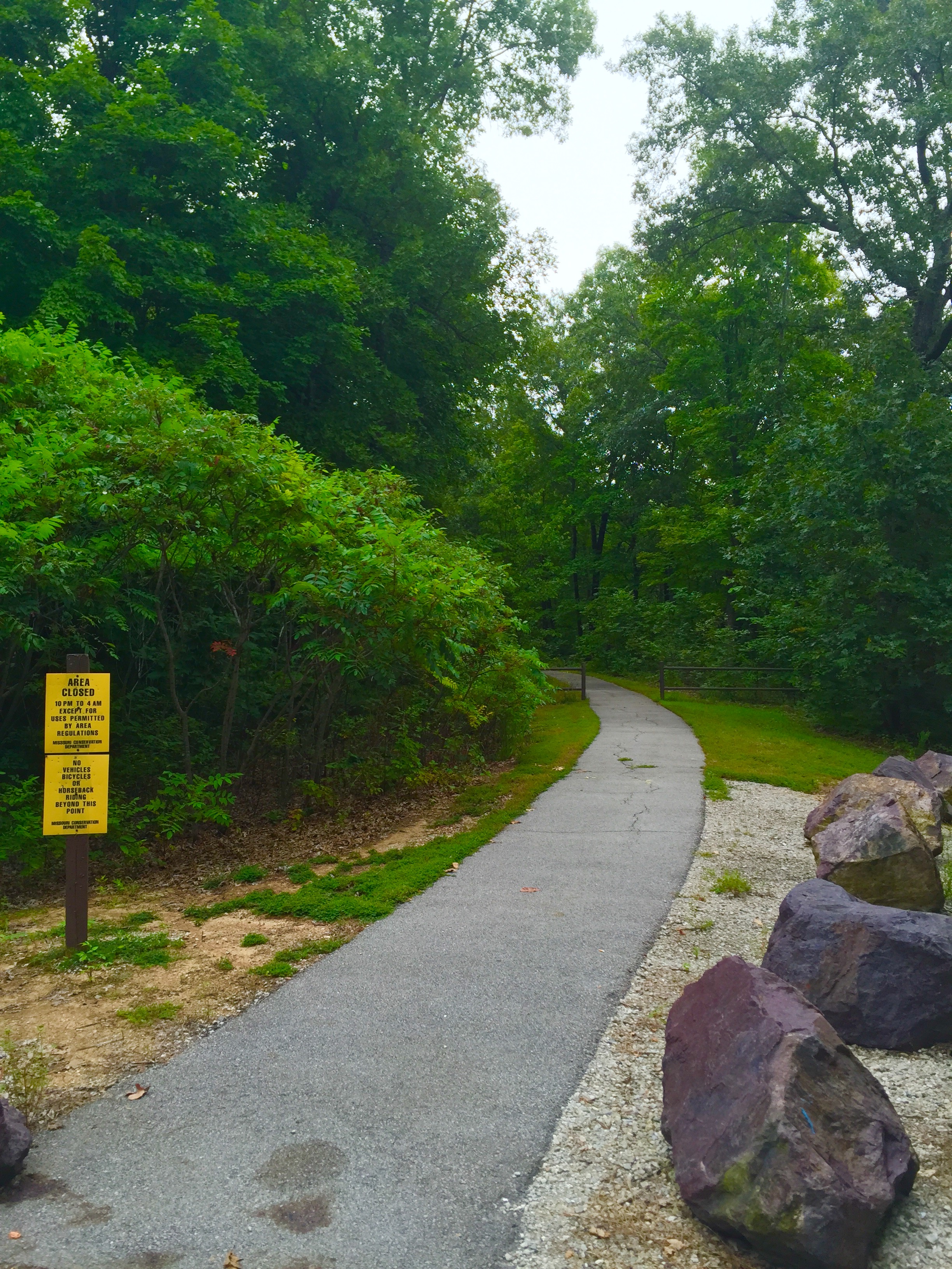
Just to the right of the viewing platform, a trail starts off into the woods. The trail is just over a mile long and narrowly winds down the bluffs to a drainage area.
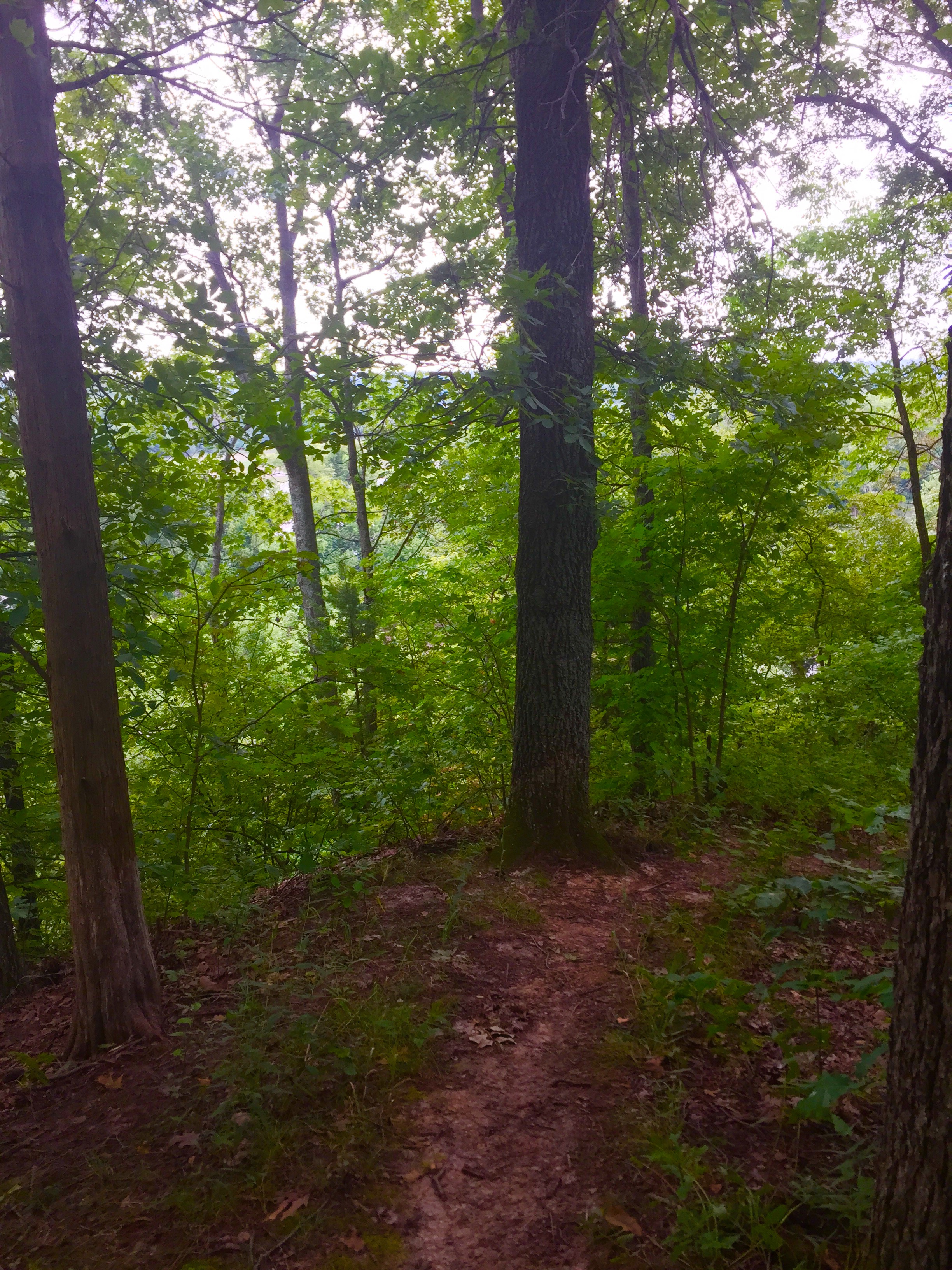
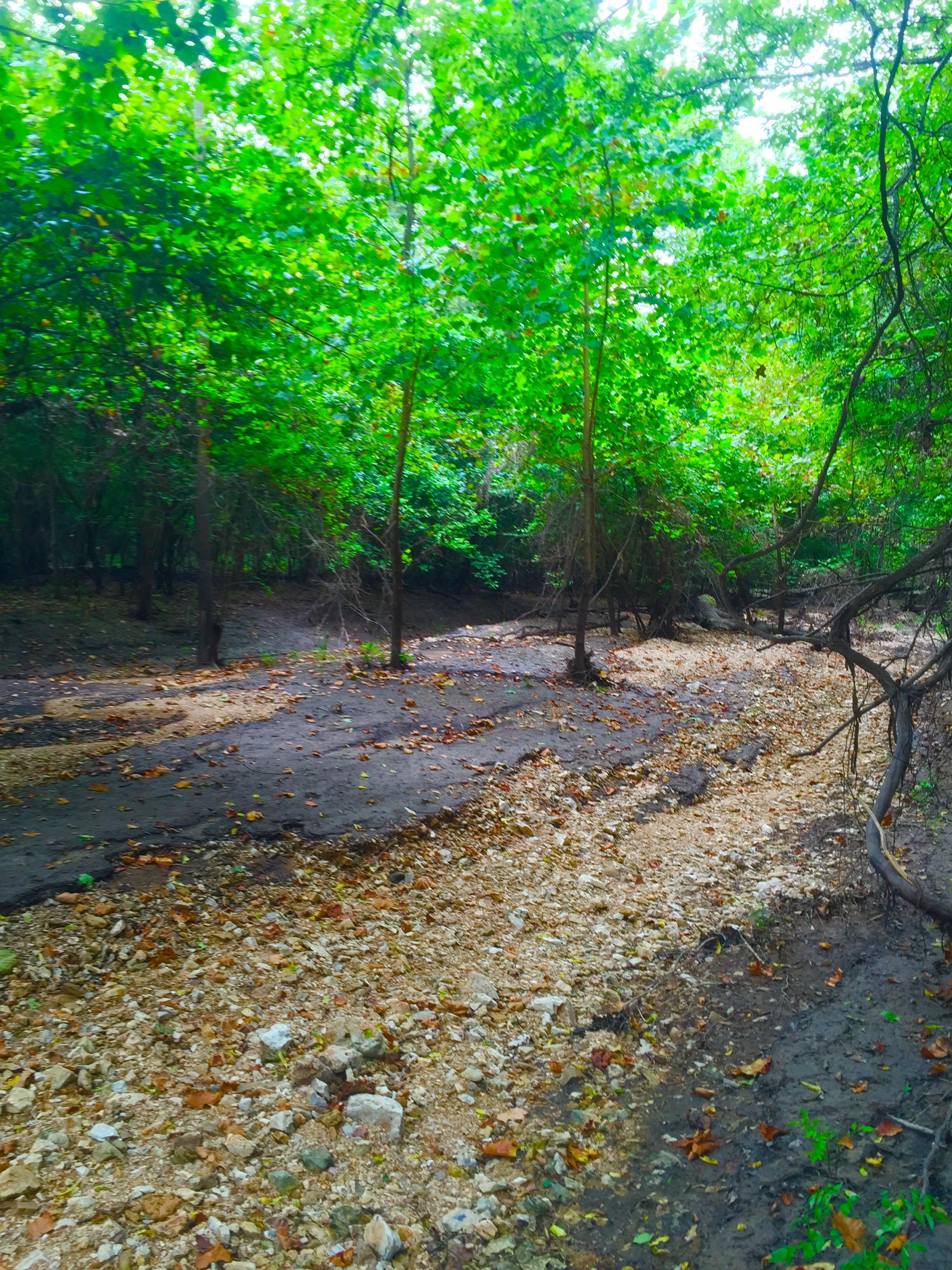
 The trail isn’t really marked so once you get down to the bottom, it is a bit difficult to find your way. Keep a look out for a bridge.

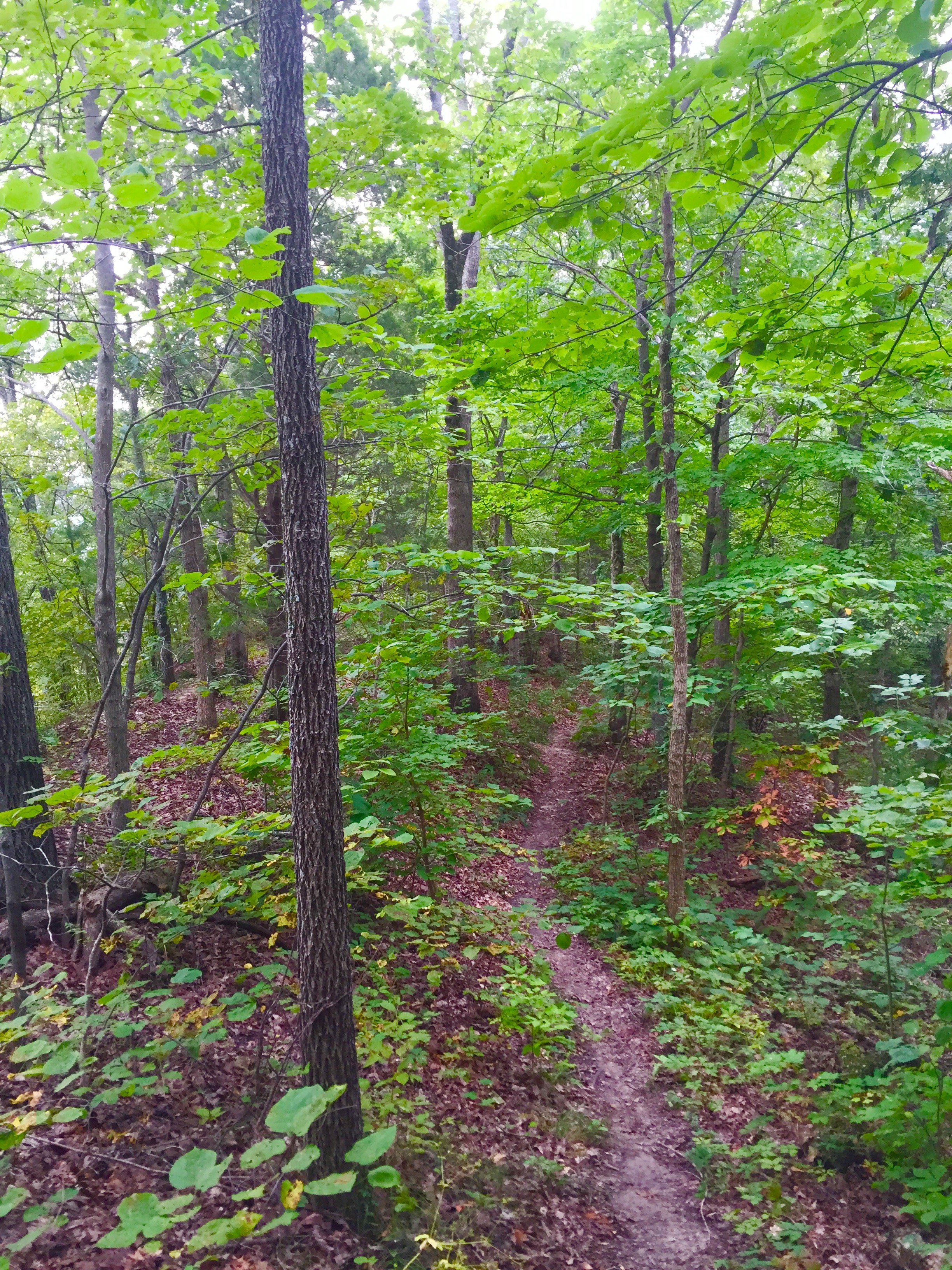
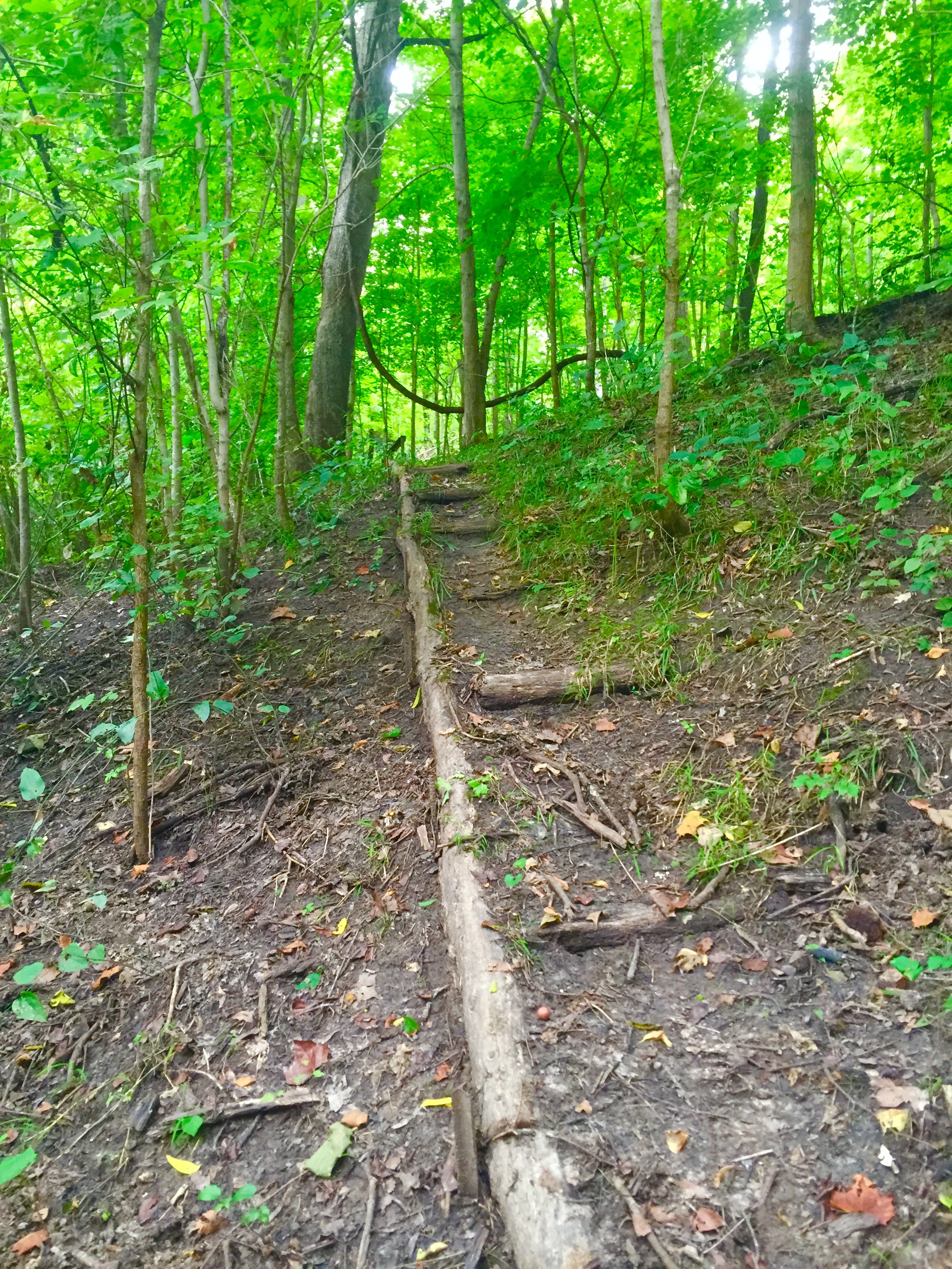
 The trail then starts uphill, but it is sort of difficult to find so keep an eye out for this little section of natural stairs.
 From here, the trail leads back to the paved trail. You can tell that this trail does not get hiked too often as I caught a lot of spider webs =). Overall, it is a good quick hike, but the overlook is worth the drive. I found this place from the Camping Missouri blog. Be sure to check out what he has to say HERE!
It is important to note that about half way down White Sands Road, there is a low water bridge so if the area is experiencing flooding, the conservation area may not be accessible. After the bridge, the road turns to gravel, but is in good condition.
The trail map below was obtained from the Missouri Department of Conservation. Be sure to check out their website for more information.


Last photo wins gold!
LikeLike